InTDS ArchivebyFlorian TrautweilerHow to Process 10k Images in SecondsEfficient image operations with multiprocessing in PythonJan 25Jan 25
Diego Lopez YseComputer Vision | Analyzing Satellite Images using PythonA comprehensive guide to calculating and visualizing vegetation indicesNov 7, 2024Nov 7, 2024
InTDS ArchivebyMahyar Aboutalebi, Ph.D. 🎓Field Boundary Detection in Satellite Imagery Using the SAM2 ModelStep-by-Step Tutorial on Applying Segment Anything Model Version 2 to Satellite Imagery for Detecting and Exporting Field Boundaries in…Nov 15, 20249Nov 15, 20249
LAWRENCE KIMUTAIThe Future of Geospatial Technologies: Shaping Our World with Code and DataThe world is increasingly dependent on spatial awareness — knowing where things happen, understanding how places change over time, and…Oct 30, 20243Oct 30, 20243
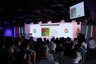
InGoogle Earth and Earth EnginebyGoogle EarthEarth Engine Takes Center Stage: Key Takeaways from Geo for Good 2024by Raleigh Seamster, Senior Program Manager, Google Earth OutreachNov 7, 2024Nov 7, 2024